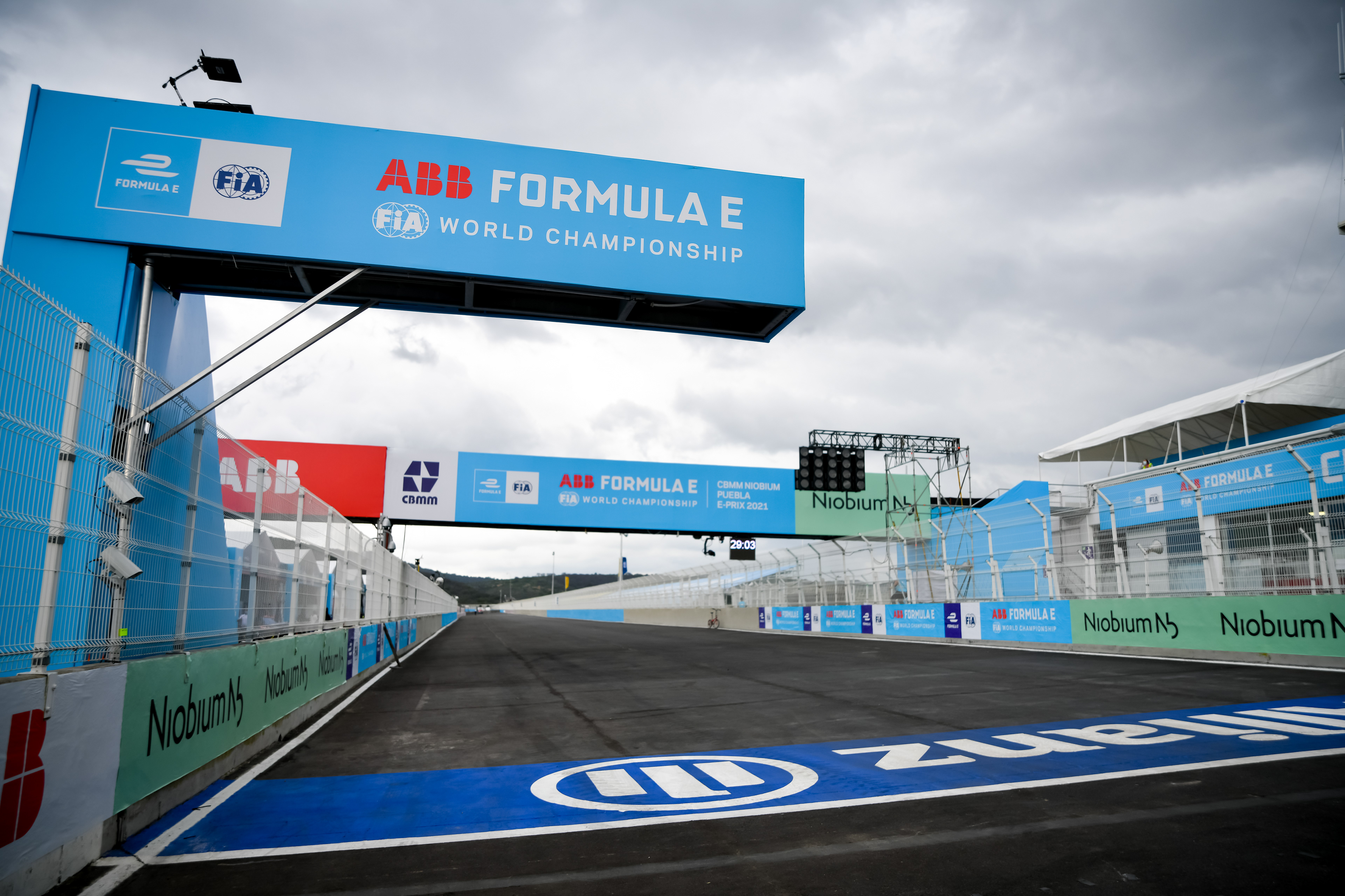
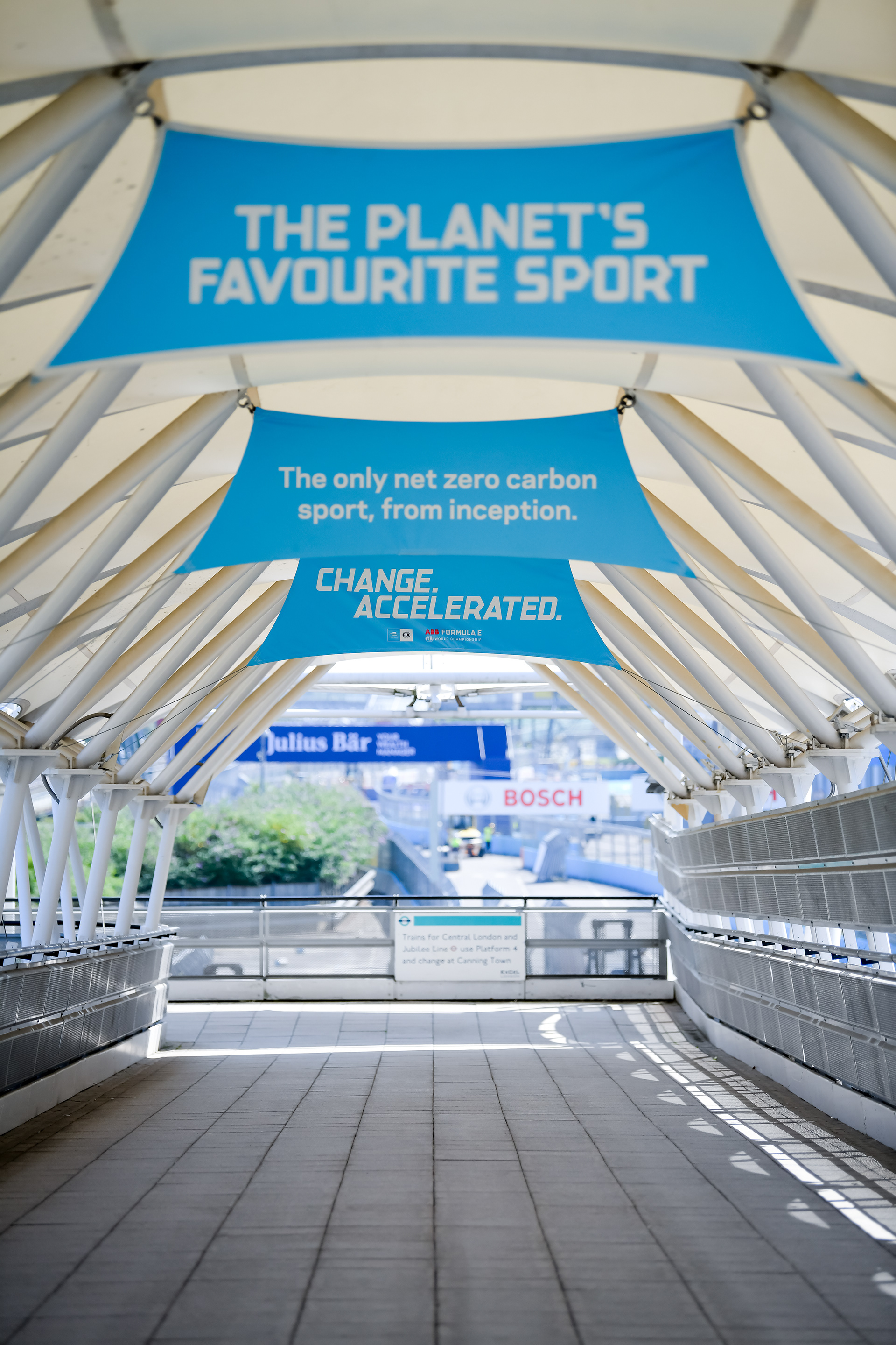
MY ROLE: At Formula E, I was the Wayfinding Lead across all Season 8 races -16 races across 10 countries, in 8 months. My role involved creating a wayfinding plan for each city, mapping the user flows and creating a map of both physical and digital assets to use for wayfinding. I then designed each file and created installation manuals. For every race I created a wayfinding map, showing the public, teams and staff how to get around site. I also created track maps for use on social channels and the websites. For more complex and new races, I managed local support staff who helped with on the ground route planning, as well as travelling to the races to help with onsite installation. During my time here I visited Mexico, Rome, Berlin, New York, Jakarta, Seoul and Saudi Arabia, to name a few!
Example wayfinding map I created for the London race. This was the first ever indoor-outdoor event in international motorsport, proving a tricky design project too with the complex 4 floor venue.
Track maps created for Rome & Berlin, used across social channels and on the Formula E website.

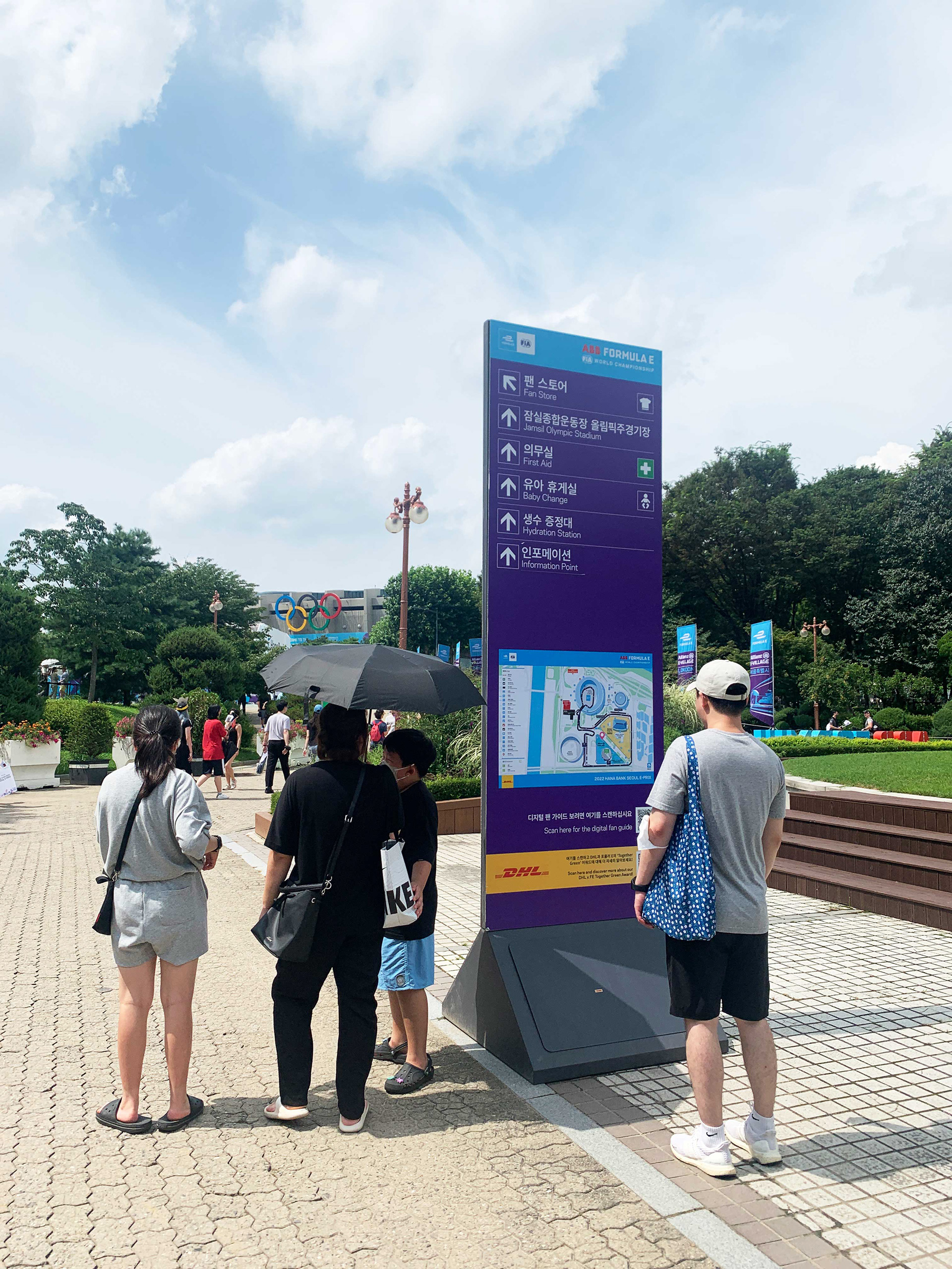
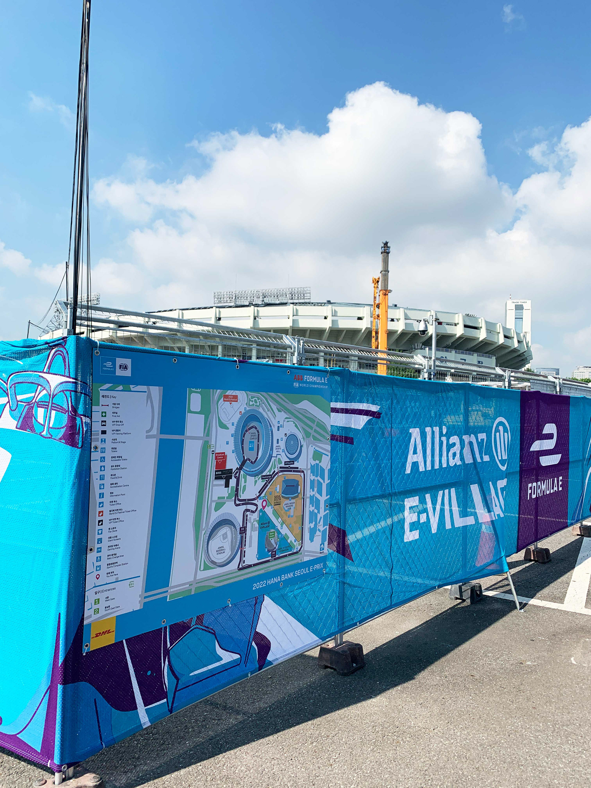
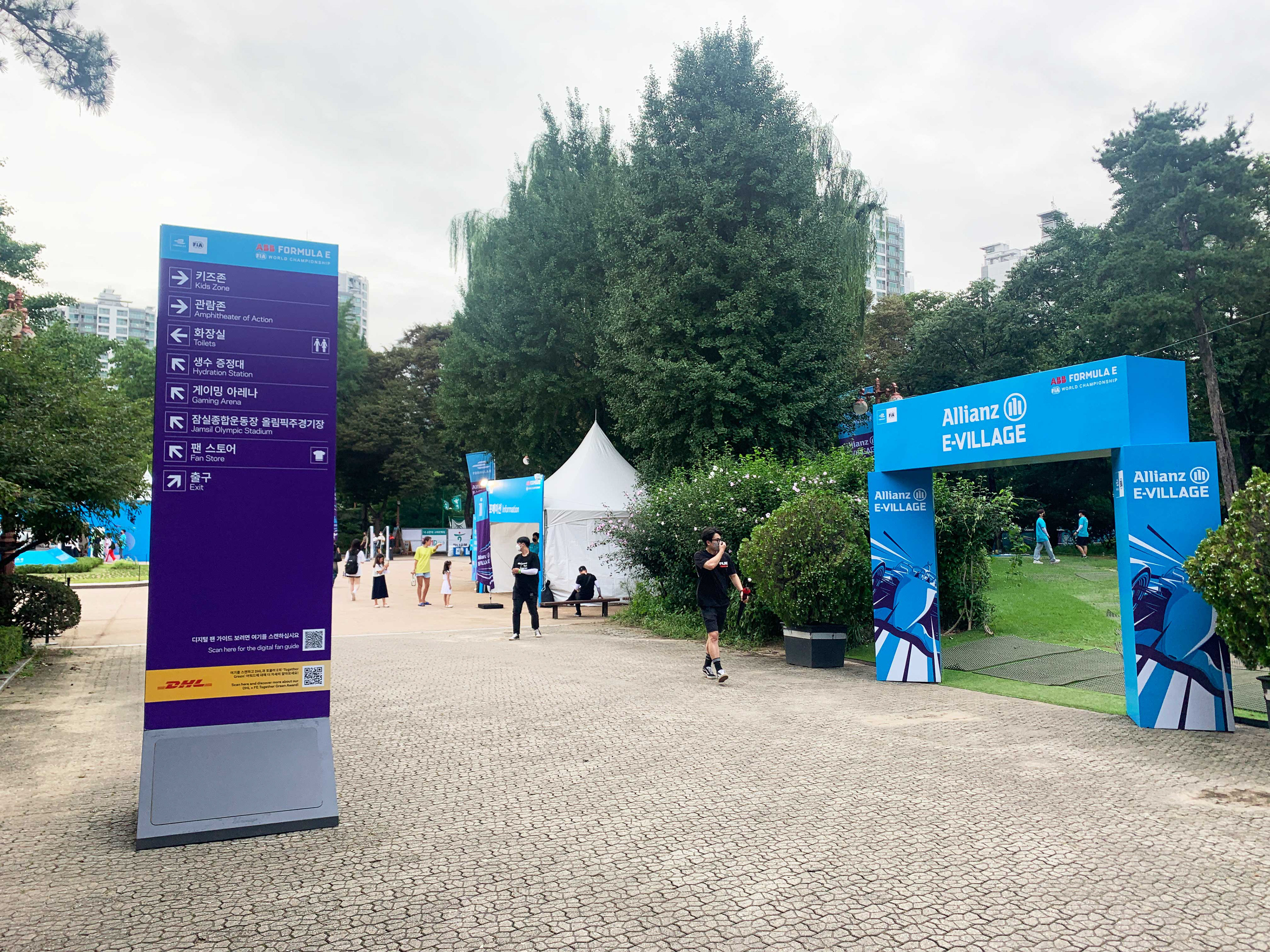
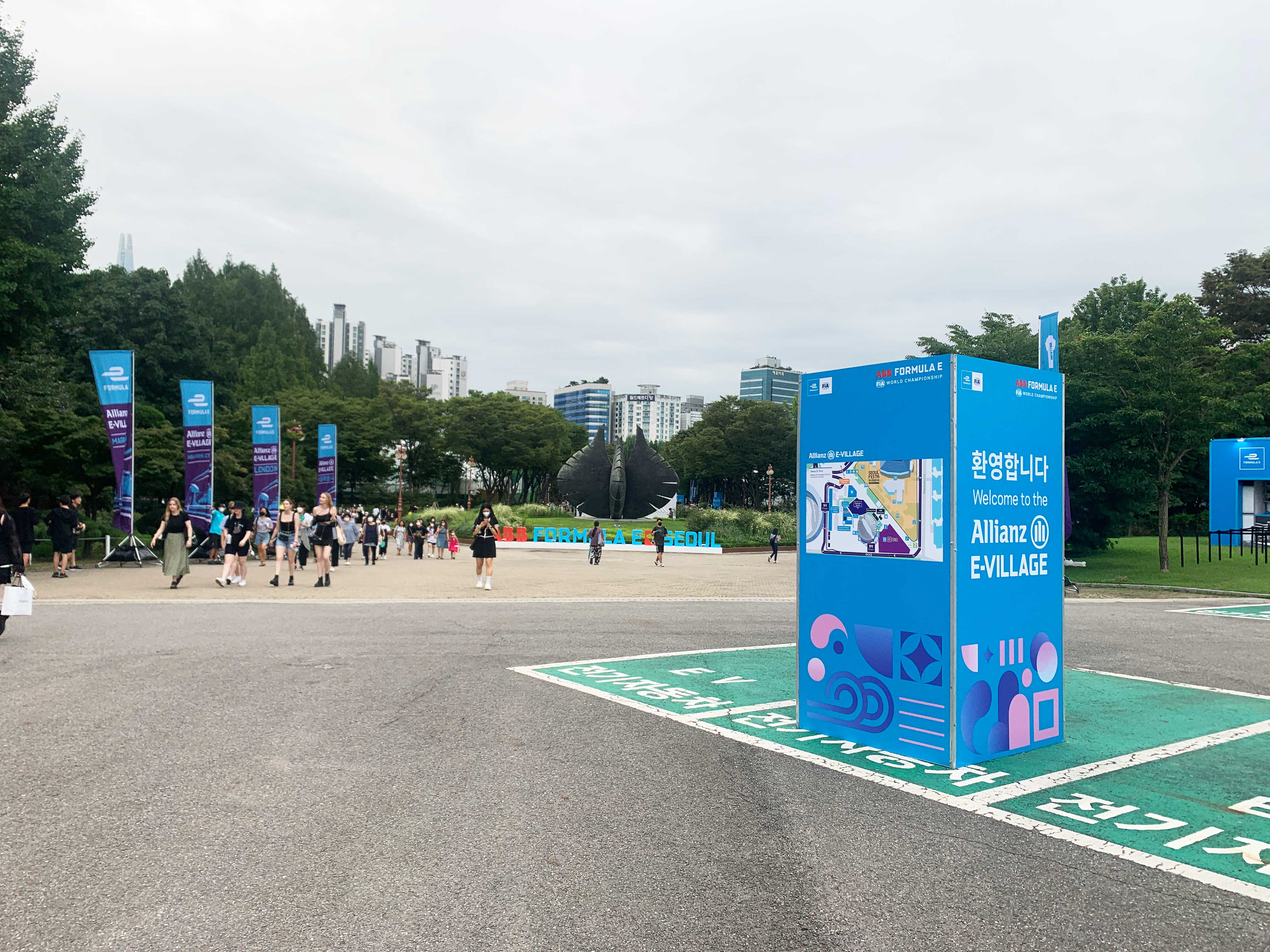
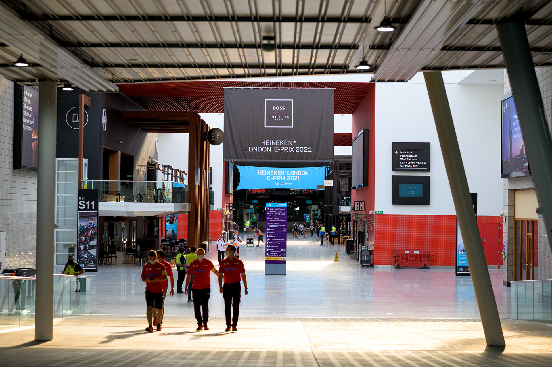
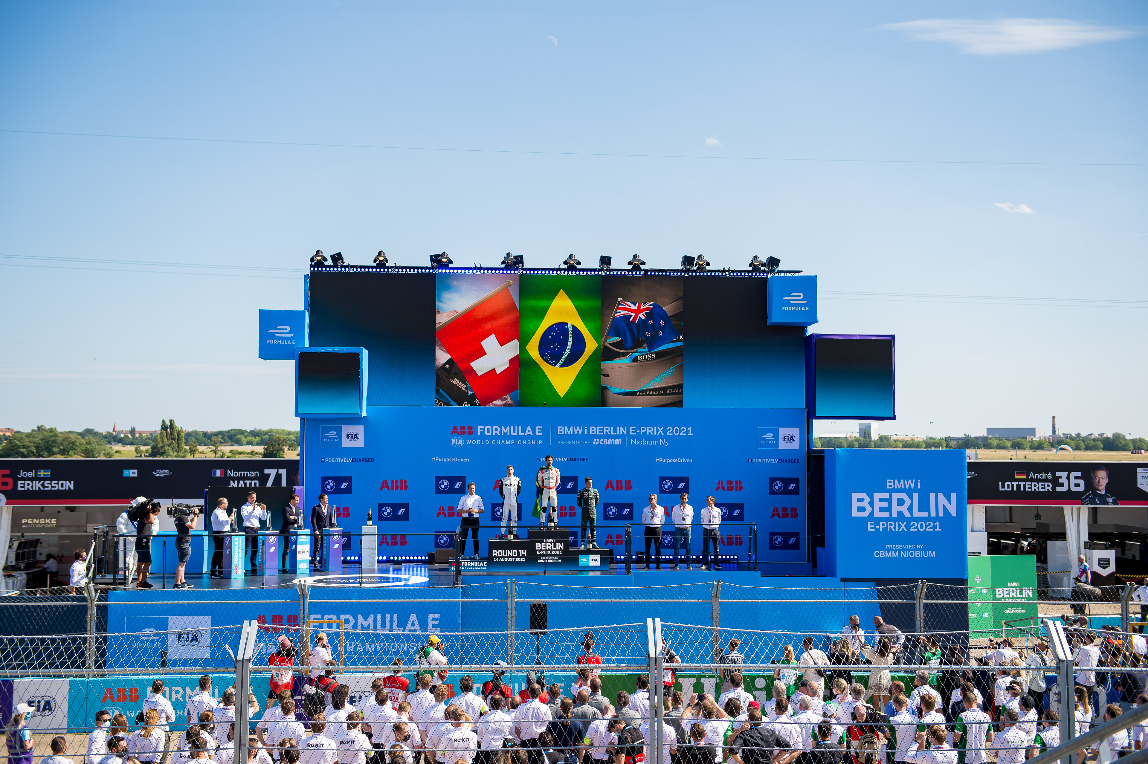
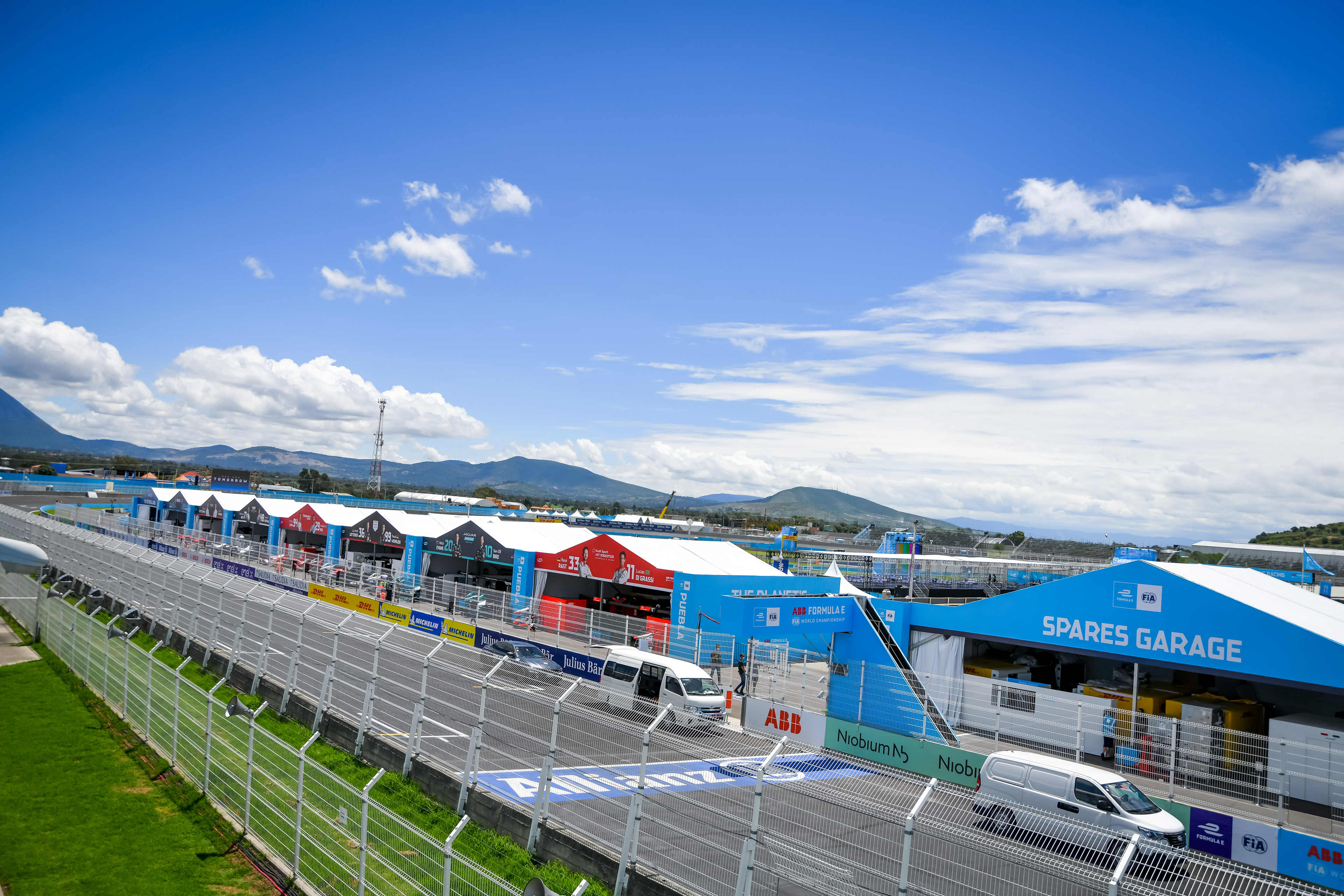
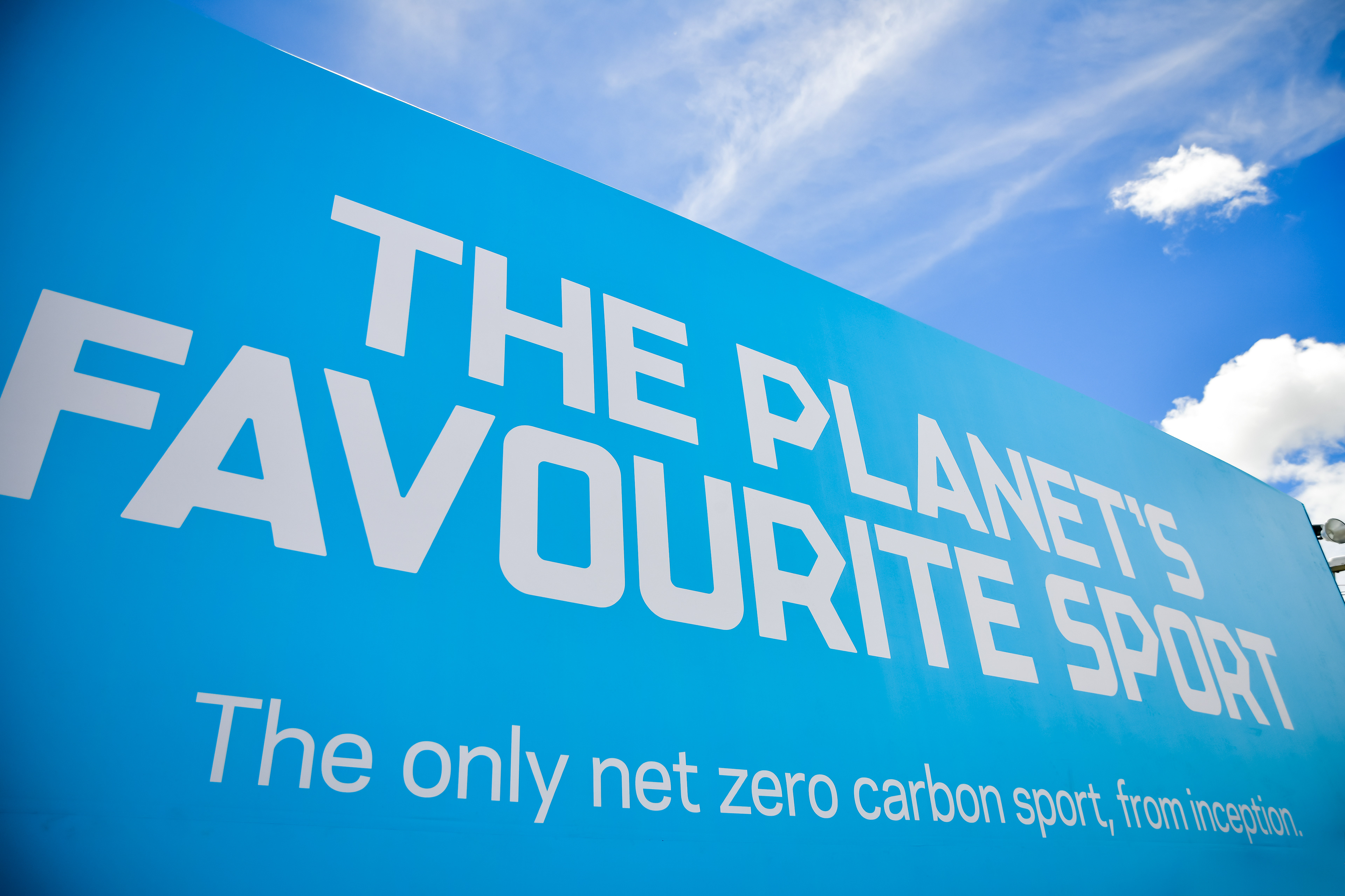
Example wayfinding structures at the London & Seoul E-Prixs.
As the first in-house wayfinding designer & manager at Formula E, a large part of my role involved setting up new systems and making the process more efficient. Part of this involved setting up new wayfinding & signage guidelines, to be used by local teams and freelancers. I managed to move from having 3 people looking after event wayfinding (wayfinding manager, FE branding lead and a designer) to just 1, making big savings for the team.
For each race, I worked together with the security, event management and track & overlay teams to outline customer journey around site, for the different populations. I then plotted these on the CAD drawing and identified the key decision points.
From this I created the wayfinding plan. I used colour coded keys to show different signage types, which aligned to structures we carried with us from race to race in shipping containers. Orientation was shown using A/B sides. These were placed at these key decision points and places likely to confused each user group. I also created digital install plans for some races, including London and Saudi Arabia.
From the wayfinding plan I created artworks for each sign, using key wayfinding principles to determine the content and order to go on each. Icons were used to simplify and to help keep a globally recognisable system. These were then grouped by area and issued to our global supplier to print and install. Snagging then took place on site, with sets of arrow patches on hand for last minute changes.
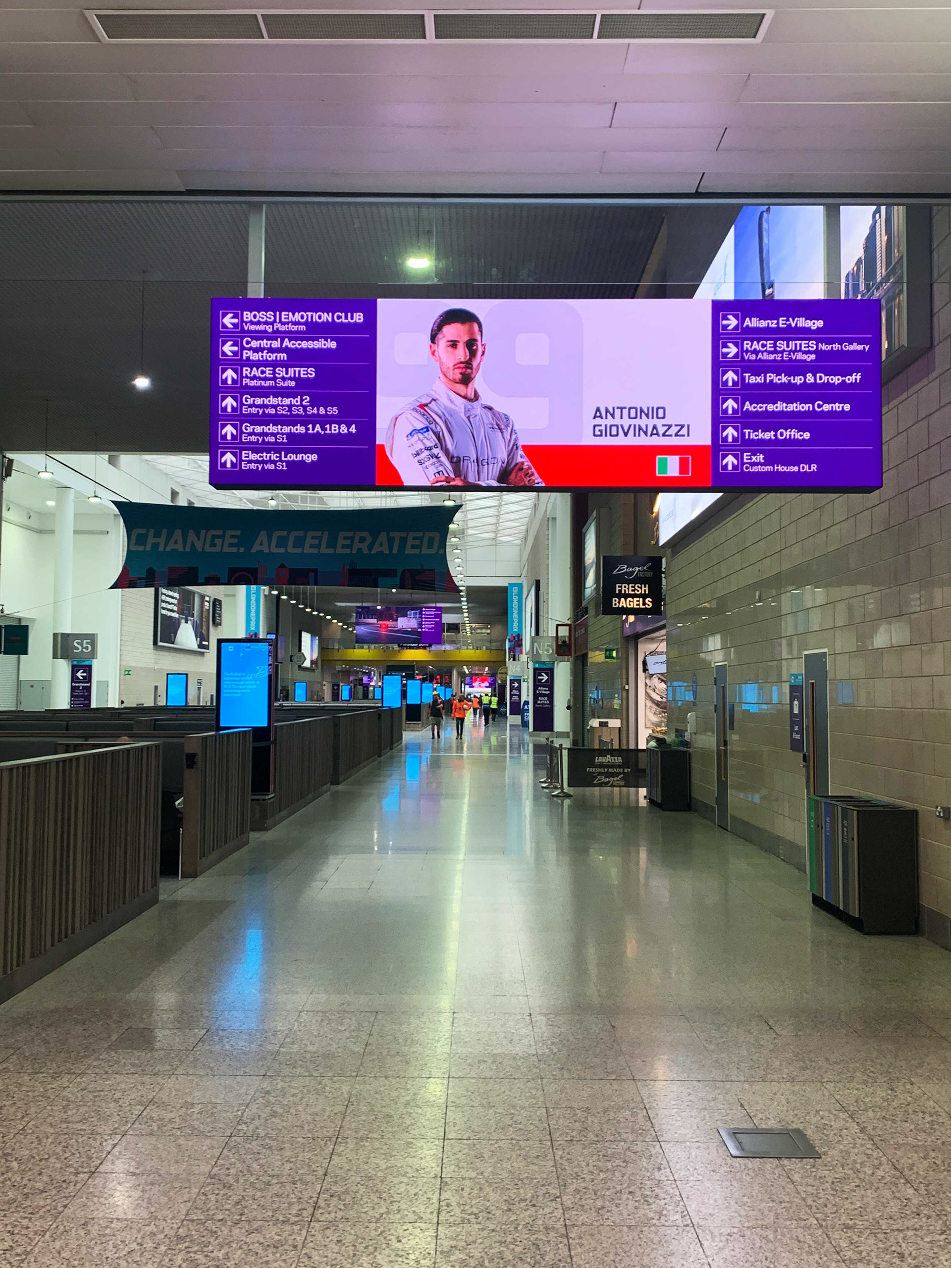
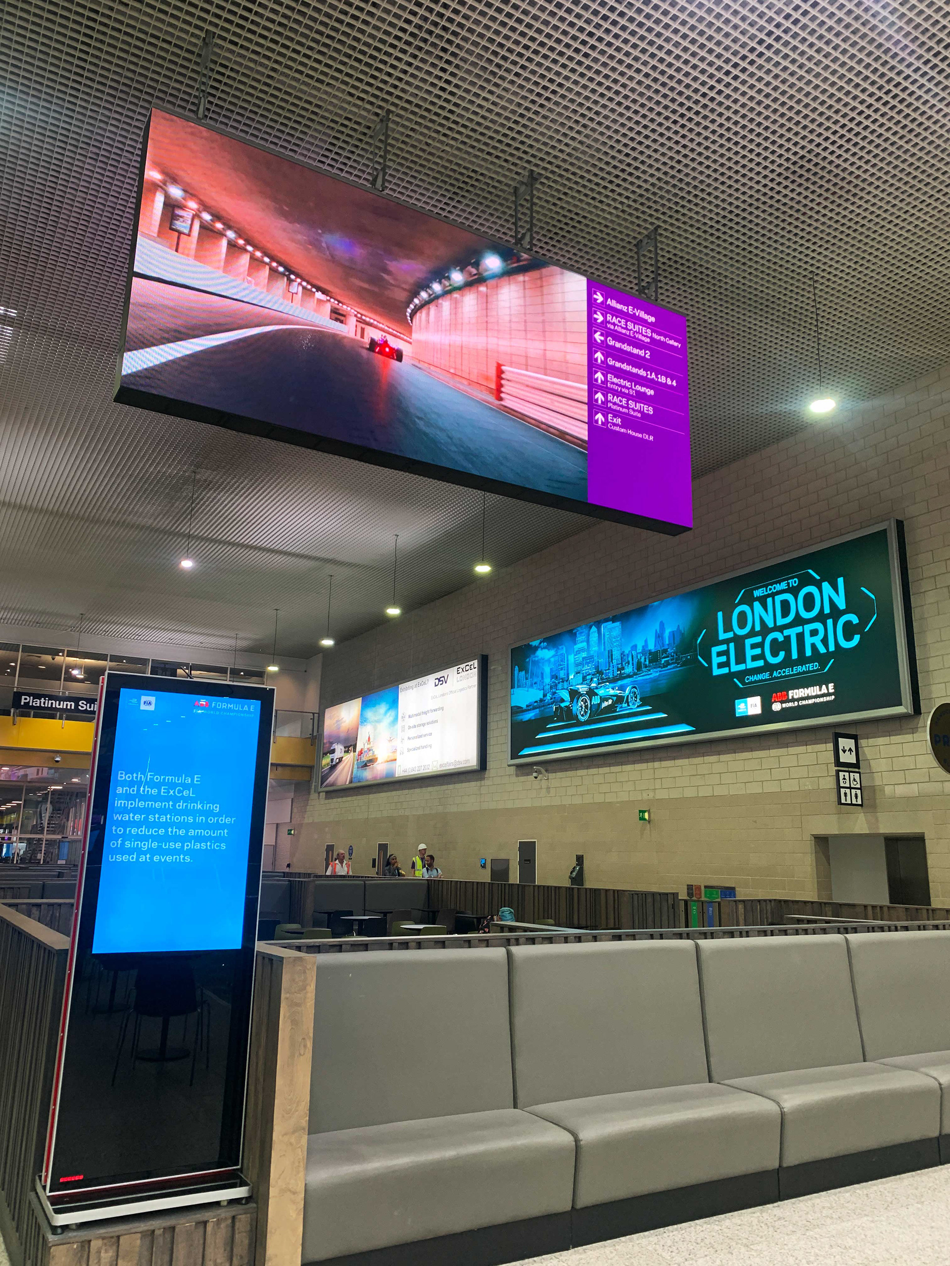
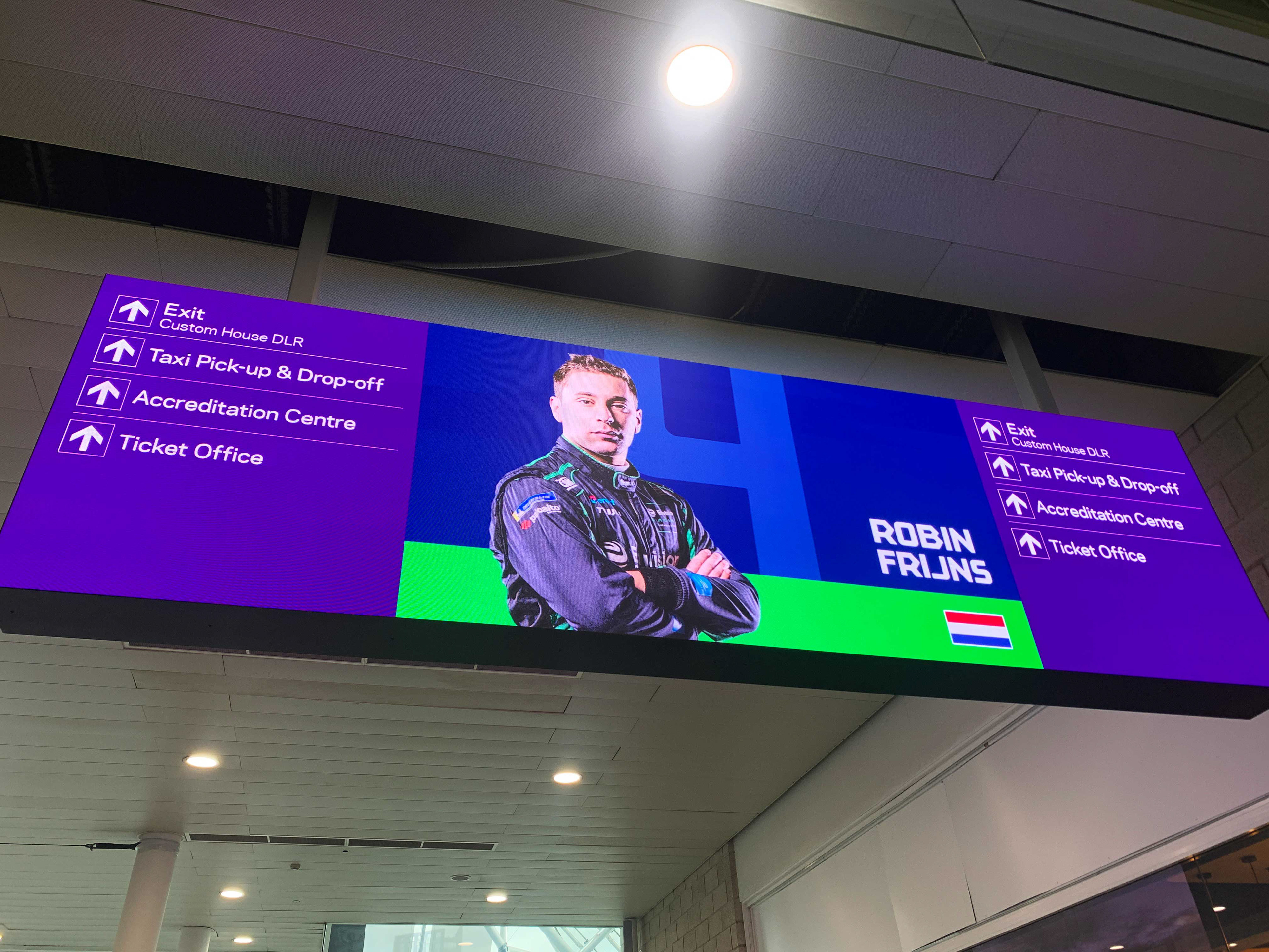
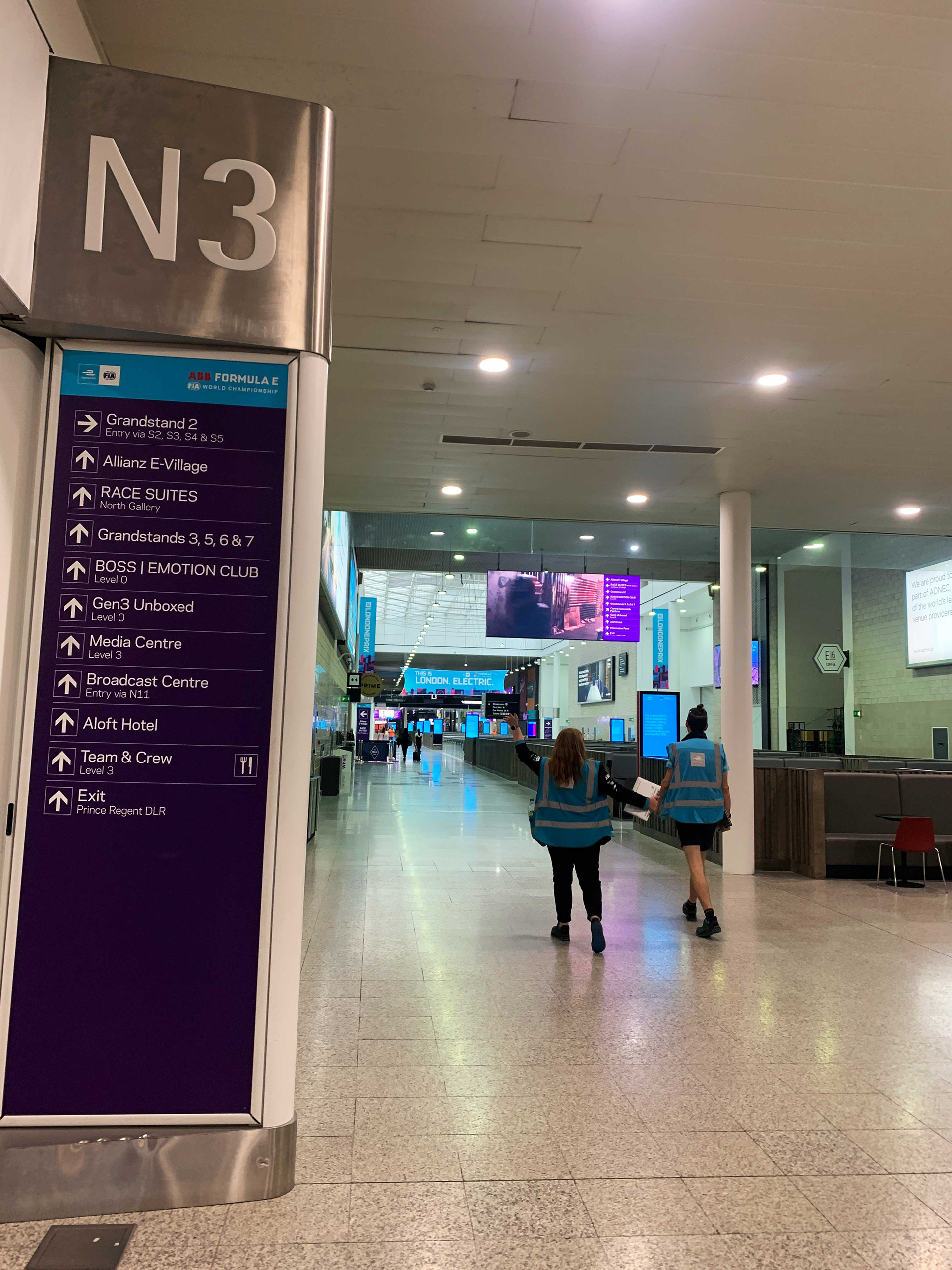
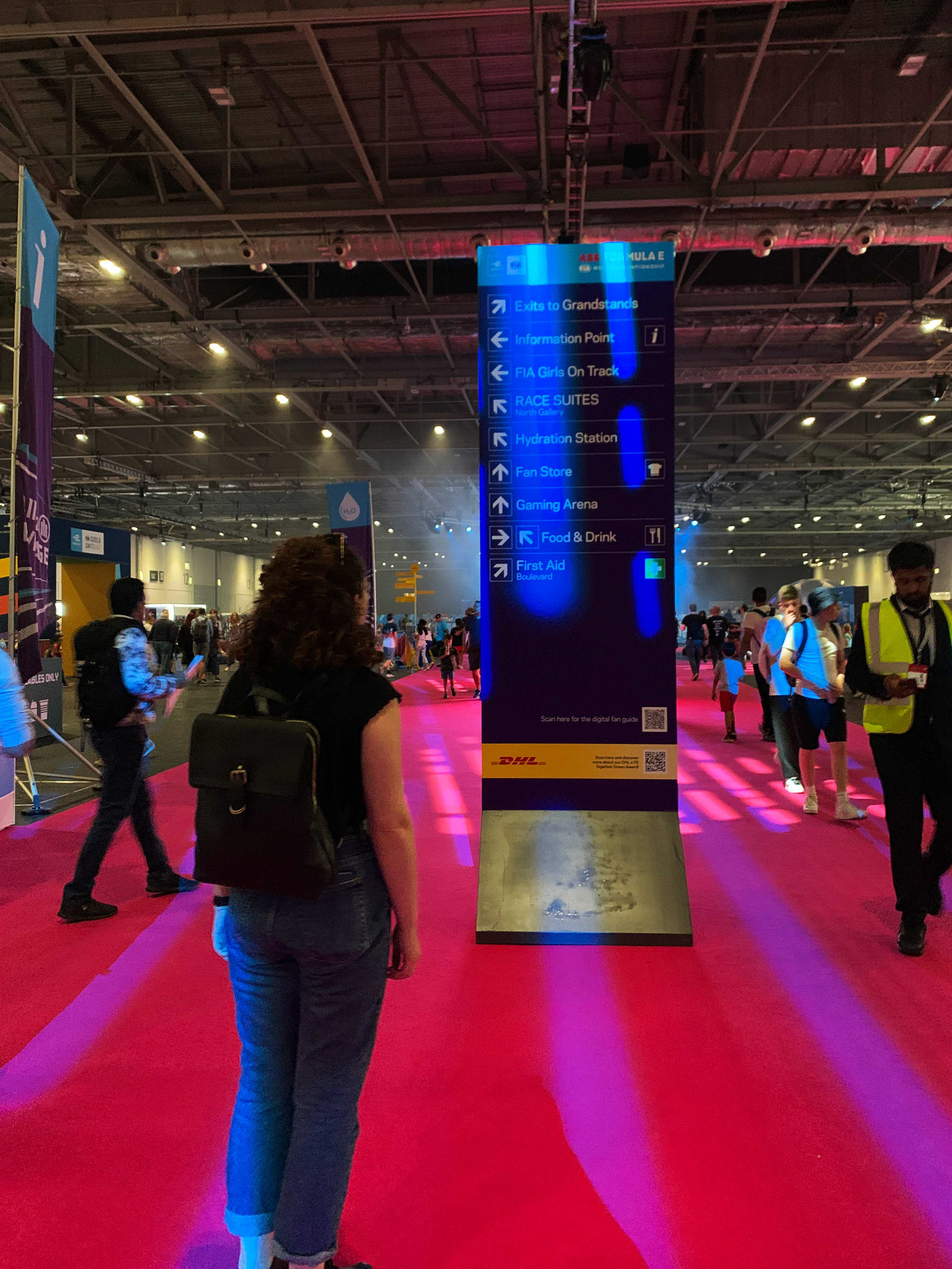
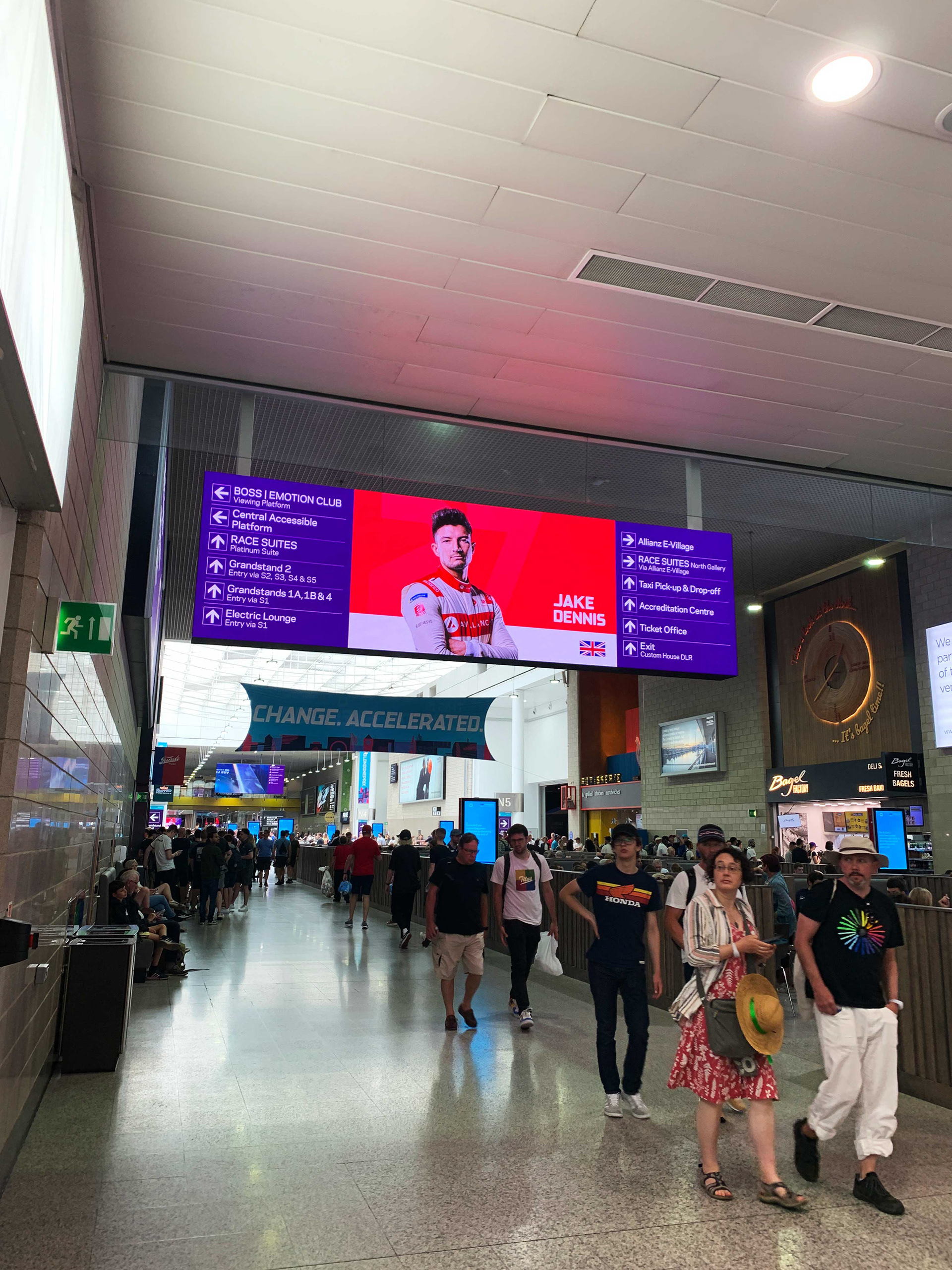
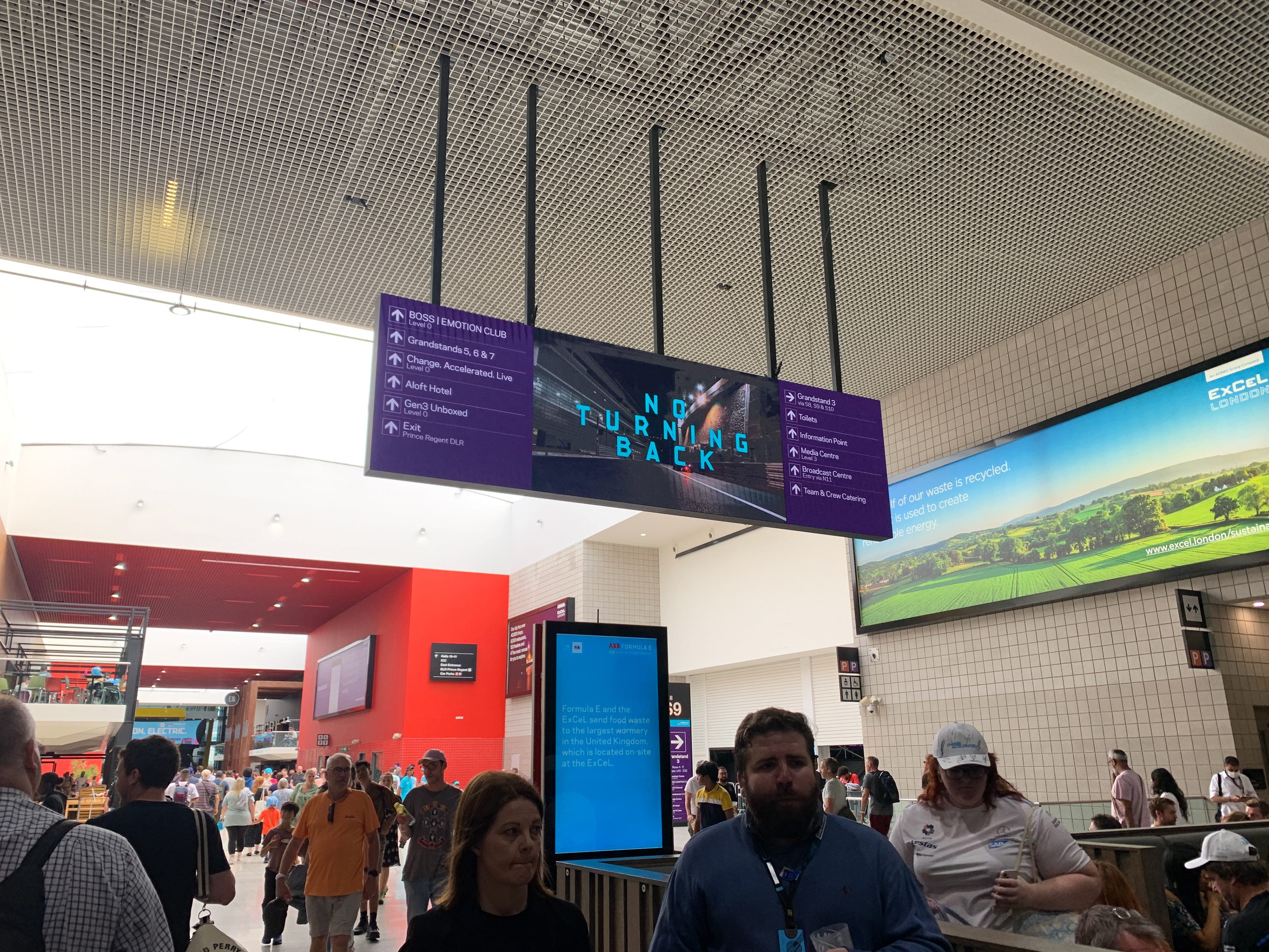
At some venues we also used digital wayfinding. The images above are from the London race, where we combined wayfinding with motion. I managed this project; briefing artworks to a freelance motion designer, creating the digital wayfinding assets and working with the internal digital team at the ExCel to get the screens set up correctly.
I created wayfinding maps for all Season 8 races. Here is the rest of the season!
